Brief Summary
This course teaches you to build an Enterprise GIS using free software like Postgres and QGIS. You’ll learn to manage users and data for a mid-sized municipality, and even how to perform simultaneous edits—all while keeping it simple and fun. Seriously, it’s like building your own GIS playground!
Key Points
-
Create a multi-user Enterprise GIS from scratch.
-
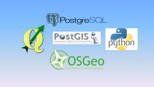
Use Free and Open Source Software: Postgres, PostGIS, and QGIS.
-
Manage users with different permissions.
-
Perform simultaneous multi-user editing on GIS layers.
-
Access GIS tools using Python for custom applications.
Learning Outcomes
-
Understand how to install and configure PostGRES and PostGIS.
-
Design a database to support multiple users and roles.
-
Load and manage GIS data effectively in the database.
-
Implement real-time multi-user collaboration in GIS.
-
Create custom GIS applications using Python.
About This Course
Create an enterprise GIS with Postgres SQL, QGIS, and PostGIS to manage users, and support multiple GIS software clients
For years I've been hearing everyone talking about Enterprise GIS, but I haven't seen anyone do it. After this course, I can now say that "I've created a multi-user enterprise GIS on my own!" - John from California.
Do you want to learn how to build an Enterprise GIS from scratch using Free and Open Source Software for GIS (FOSS4g)?
In response to the high cost and complexities of implementing an Enterprise GIS, I created this easy-to-follow, hands-on training course allowing students to actually build a multi-user enterprise GIS from scratch using Postgres, PostGIS (free) and Quantum GIS (free). As an added bonus, this training will show how you can add other GIS products (i.e. commercial GIS software) into the enterprise stack as GIS clients.
In this course you will create an Enterprise GIS that includes vector and raster data for a mid-sized municipality. You will learn how to add users, each with different permissions for accessing and editing data, and also how to use PostGRES to control all aspects of database access, presentation, and editing. You'll even perform simultaneous multi-user editing on the same GIS layer, and learn how a true Enterprise GIS can manage many users at once.
As a bonus, you will see how you can access all the GIS tools from outside of the software by using python to create a table-top GIS application that you might find at a kiosk. And finally, I will show you an example of how the same data in the enterprise can be simultaneously displayed on the Internet using FOSS4g software.
Install PostGRES and PostGIS
Design a PostGRES database with multiple users and roles
Load GIS and attribute data into PostGRES and PostGIS


Alka R.
It was an excellent course and it has definitely achieved its objective as it has given me the confidence to set up an enterprise GIS without having to use super-expensive consultants who make it sound like it is top-secret magic. My only recommendation is that the course is updated as I have completed it in 2024 and as the course pointed out, opensource software changes rapidly. I therefore had to rely on Google in following the course steps but using the most recent, stable version of the different software. I will definitely be telling all those I know about this course and encouraging them to complete it as they work in public sector organisations and therefore cannot afford the expensive software and consultants. Thank you so much!